
HERMES – ELTA
Developed the national GIS-based postal delivery system for the Hellenic Post (ERMIS). Included route optimization using RouteSmart, daily GPS updates, and integration of telecom systems for real-time dispatching.
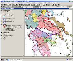
Developed the national GIS-based postal delivery system for the Hellenic Post (ERMIS). Included route optimization using RouteSmart, daily GPS updates, and integration of telecom systems for real-time dispatching.
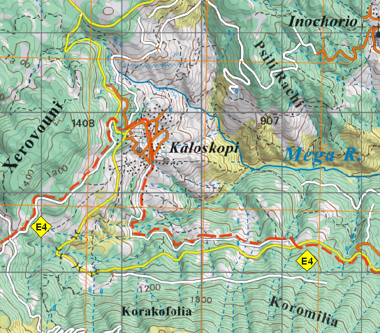
Produced 24 high-resolution mountaineering maps at 1:50,000 scale using GPS and satellite data for GNTO. Developed digital cartographic database and multilingual outputs for trails across major Greek mountains.
Created EO-based mapping services for the retail sector under ESA funding. Delivered geospatial analytics integrated with marketing software, validated through field surveys and statistical comparison, and promoted at industry events.
EIA for expanding and modifying Serres landfill operations. Evaluated slope stability, capacity optimization, biogas and leachate management, and flood protection, ensuring regulatory compliance under the Waste Framework Directive.
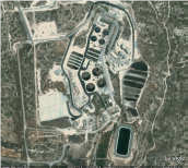
Feasibility study for the reuse of recycled water from Limassol’s treatment plants. Assessed storage and discharge alternatives, developed hydraulic models, and recommended cost-effective reuse scenarios such as aquifer recharge and irrigation.

EIA for the conversion of the Athens–Korinthos National Road (Dafni–Elefsina) into a highway. Scope included eco-data acquisition, physical and biological analysis, impact modeling, and legislative compliance for environmental permitting.
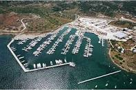
Environmental Impact Assessment for the construction and operation of Lavrio Port’s recreational marina zones (Marines A and B). Included eco-data collection, spatial analysis, modelling, and stakeholder consultation on mitigation planning.
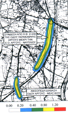
Environmental Impact Assessment for the Argos Bypass termination and flyover to N. Kios road. Evaluated impacts on noise, aesthetics, vegetation, and traffic improvement; proposed slope planting, monitoring, and excavation waste management.
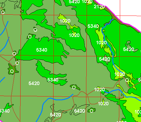
Mapping and classification of flora habitats in 68 NATURA 2000 sites across Peloponnese and Western Greece. Included GIS-based field data integration, rare species mapping, and land cover digitization with final maps at 1:20,000 and 1:50,000 scales.
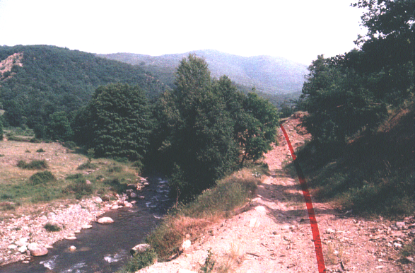
Improvement of the Kastoria–Florina national road, bypassing Kastoria and enhancing transport to Krystallopigi and Prespes. EIA included mitigation of noise, erosion, habitat loss near Aliakmonas River, and proposed measures for landscape and ecological protection.