Projects

SINTRAIN

Proposed to implement a national-level training program in GIS and remote sensing for 140 public servants across Maltese agencies. Included modular certification (MQF 4.1 and 5.1), practical skills, and evidence-based planning support for Malta’s land administration and spatial governance.

SINTRAIN Read More »

SINTEGRAM

Proposed to create a unified spatial data infrastructure across over 40 Maltese government entities. Delivered an ArcGIS-based interoperable portal, enhanced policymaking through geospatial integration, and provided user training for public sector administrators.

SINTEGRAM Read More »

REFIT

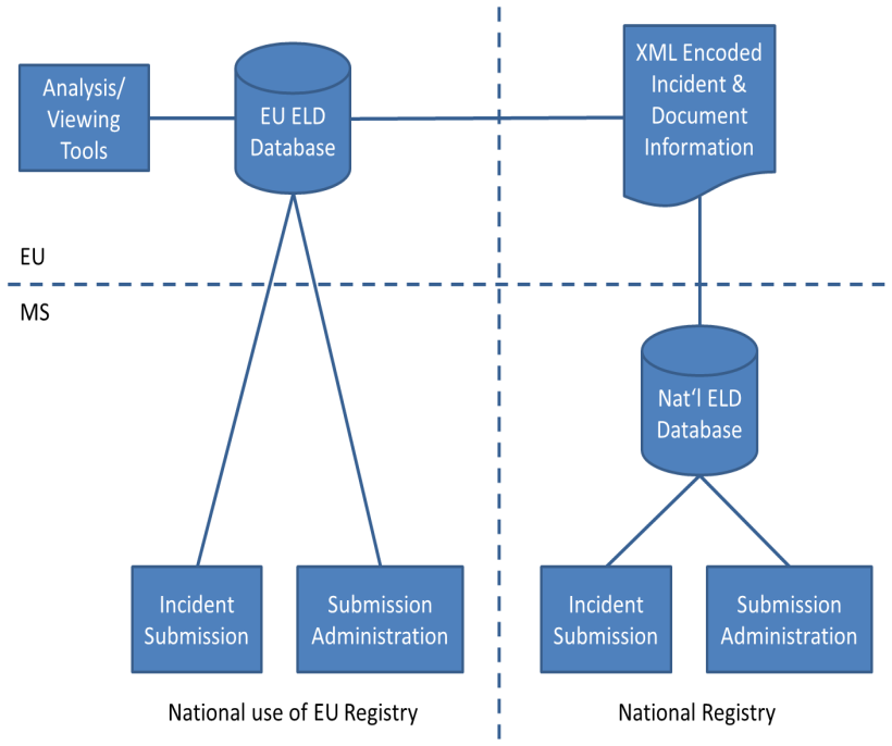
Proposed to support Phase 1 of the REFIT actions for the Environmental Liability Directive. Delivered registry design, legal analysis, harmonized definitions, stakeholder engagement, and capacity-building tools under DG Environment framework contract ENV.D.4.

REFIT Read More »

NEXT-IPM

Proposed to establish a Europe-wide network of demonstration farms implementing Integrated Pest Management (IPM). Included stakeholder platforms, training modules, national IPM hubs, policy recommendations, and data sharing via a collaborative digital environment.

NEXT-IPM Read More »