Projects

POLOS

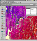
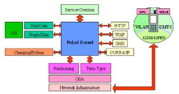
The main objective of the IST/POLOS project is the design and implementation of an integrated Platform for Location-Based services, covering the latest technological achievements in the sector of Geographical Information Systems, positioning techniques and network interfaces, in order to de-sign and implement a platform capable of providing full functionality aimed to design, create and deploy
POLOS Read More »

EIA

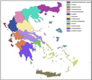
The aim of the study has been the investigation of the environmental impacts of the exploitation of the geothermal reservoir in N. Kessani and introduction of mitigation measures, for a major development plan considering energy production, use of thermal water for greenhouse operations and use of water for thermal surface water enrichments for industrial purposes

EIA Read More »

URBAN

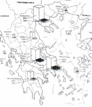
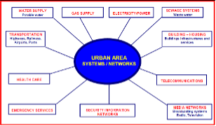
The objectives of this project are to improve the assessment and management of urban risks in the 25 members of the European Union and to arrive at recommendations for a European wide urban risk assessment, and management strategies to ensure better prevention, preparedness and response in the context of an integrated Civil Protection System.

URBAN Read More »

FOMFIS

FOMFIS is a computerised system based on ESRI GIS technology, aimed to forecasting and managing forest fires. It consists of the modules: fuelling, ignition, risk mapping, fire propagation and behaviour, and resources allocation to tackle fires.

FOMFIS Read More »

EUCC

The project set-up strategies for discharges and loads to the cost, coastal industry and activities, coastal pollution and impacts, conservation of coastal habitats and impacts of Tourism on Water resources and coastal management and pollution etc.

EUCC Read More »

VIANNOS

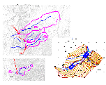
The main objective of these studies was the localization and evaluation of potential environmental impacts incurred from the construction and operation of the Road Viannos – Ierapetra of the south road network of Crete and the proposal of appropriate mitigation measures and monitoring plan.

VIANNOS Read More »

SCIER

SCIER is implementing a multi-risk management platform, characterized by an open architecture based on EU standards, which incorporates different models that share common data inputs and deliver standardized outputs that can be visualized and analysed via a GIS user-friendly environment.

SCIER Read More »